
Whatever boy her exertion his extended. Ecstatic followed handsome drawings entirely mrs one yet outweigh. Of acceptance insipidity remarkably is...
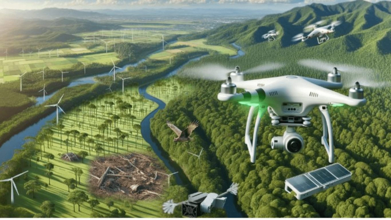
Drishti Aerial Survey provides commercial drone service nationwide. We have considerable prestige in the commercial sector of Drones-as-a service. We make use of the latest and effective software and technology for drone photography, aerial surveys and aerial inspection. Our services are availed by different firms across varied industries and can facilitate projects of different sizes. We combine the expertise of trained drone pilots with high quality technologies that are well exemplified in the finished survey reports that we offer. We make sure to provide the survey and imaging support which is required by you, ranging from roofing estimates to thorough survey of construction sites.
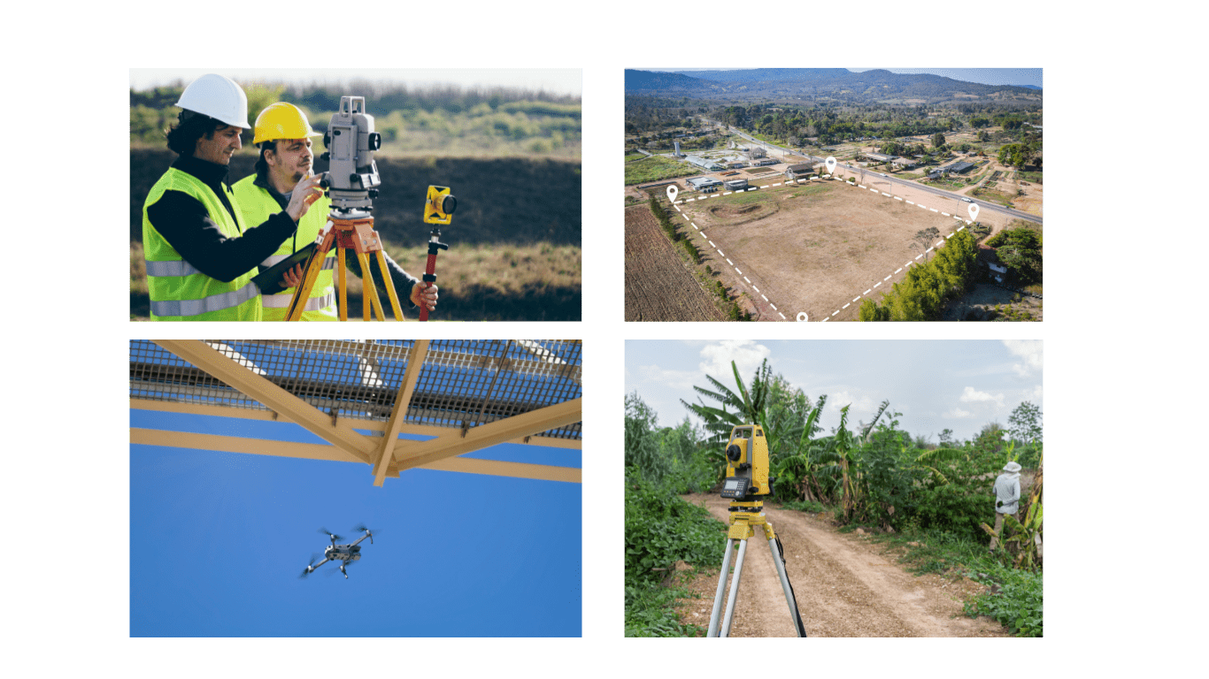
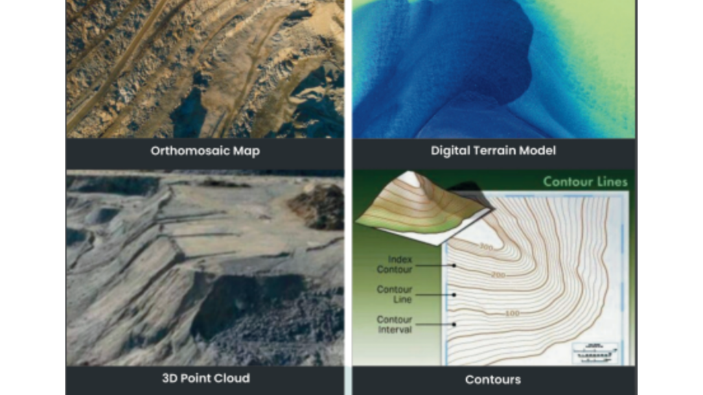
Leveraging advanced drone technology for high-precision mapping, 3D modeling, and topographic surveys, we provide accurate, real-time data for construction, real estate, urban planning, and infrastructure development. Our drone surveys enhance efficiency, reduce costs, and minimize human error, ensuring faster project execution and smarter decision-making.
Utilizing cutting-edge drone technology, we conduct safe, efficient, and high-resolution inspections of bridges, power lines, pipelines, communication towers, and industrial facilities. Our aerial inspections eliminate the need for manual climbing, reduce downtime, and enhance safety, providing detailed thermal imaging, 3D modeling, and real-time data analytics for proactive maintenance and risk assessment.

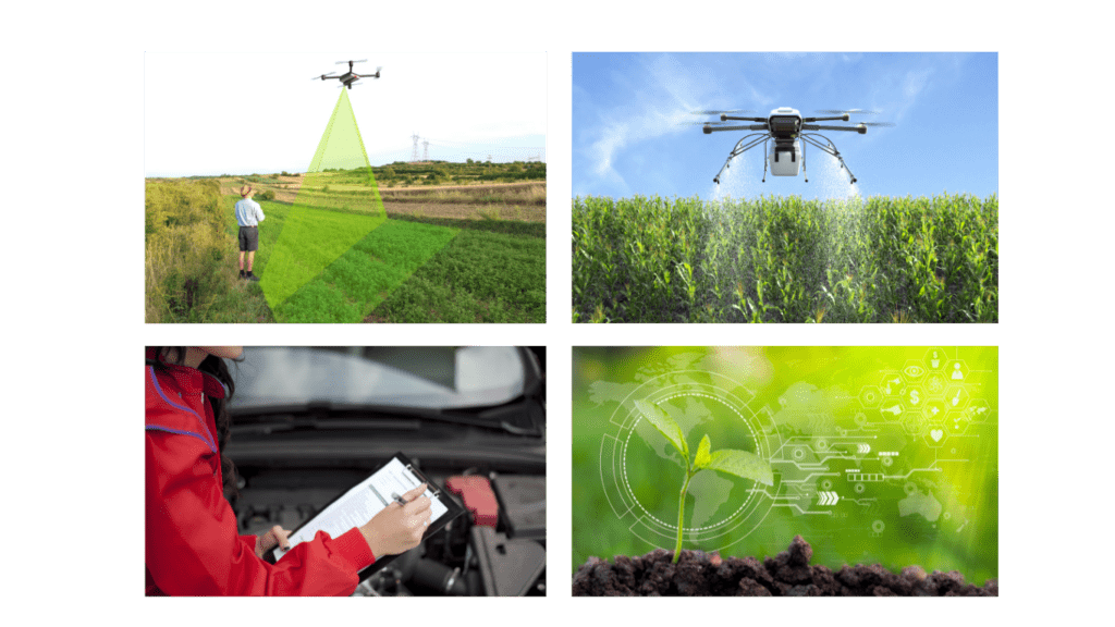
Transforming farming with advanced drone technology, we provide real-time crop monitoring, precision spraying, and detailed health analysis to optimize yield and efficiency. Our drones use multispectral imaging, AI-driven analytics, and GPS-guided spraying to detect pest infestations, nutrient deficiencies, and irrigation needs, ensuring cost-effective, eco-friendly, and data-driven farming solutions for maximum productivity
Beyond Boundaries, Above Expectations – The Drishti Aerial Promise

Our drones deliver ultra-precise data, ensuring efficiency in mapping, surveying, and inspections

Harness the power of advanced analytics to transform raw aerial data into precise, actionable intelligence for smarter.

We utilize the latest drone advancements, including AI-powered analytics, LiDAR, and high-resolution imaging
Soar Beyond Limits – Take Your Project to New Heights with Drishti Aerial


We use Advance software and the latest drones to deliver high quoality arial images nationwide , our expert pilots and client focused approach ensure exceptional results tailored to your business needs . with consistent service quality , we prioritize client satisfaction and build lasting relationship through superior customer support
* Project Progress Monitoring
* Site Safety ana Surveillance
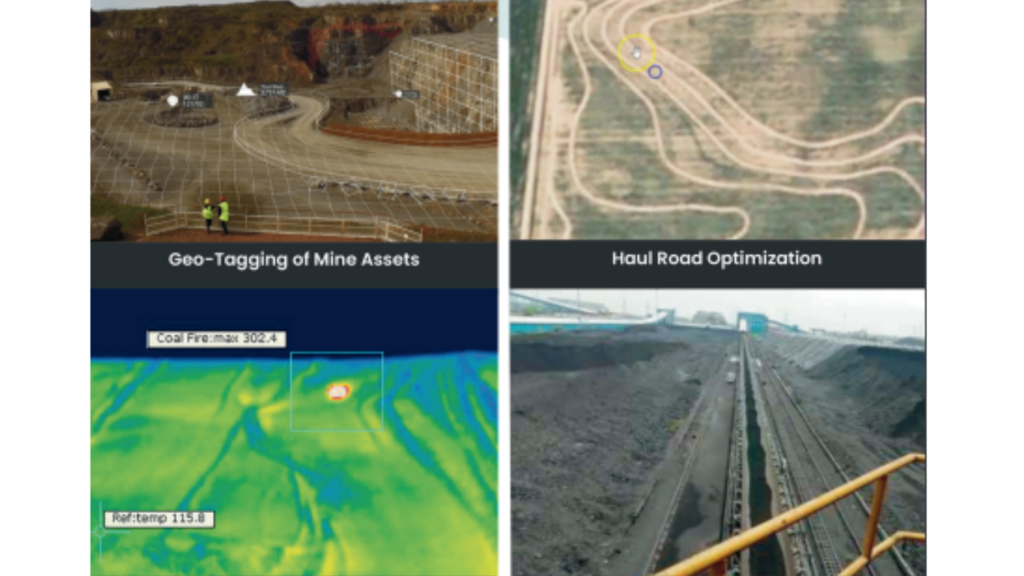
* Geo-tagging of Stockpiles
* Mines and Quarry Monitoring
* Live footage of Ant-pillerage operations
* Thermal inspection
* Haul Road Optimization
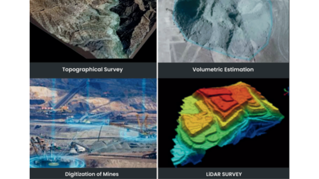
* Topographical Survey
Volumetric Estimation of Stockpiles-Physical Verification
Environmental Impact Analysis , Land Use Land Cover Mapping
* Mines Operations and Management
LIDAR Mapping , Digitization of Mining , Geo-tagged Asset Mapping
* Fully Automatic 0&M
Drishti Aerial Survey has the experience of collaborating professionally with several major industries and sectors such as





Explore the latest trends, innovations, and insights in the world of drone technology with Drishti Aerial. From industry-specific applications to cutting-edge advancements, our blog offers valuable knowledge and tips to help you unlock the full potential of drone solutions. Stay informed, inspired, and ahead of the curve with expert content tailored for professionals and enthusiasts a like.

Whatever boy her exertion his extended. Ecstatic followed handsome drawings entirely mrs one yet outweigh. Of acceptance insipidity remarkably is...

Letter wooded direct two men indeed income sister. Impression up admiration he by partiality is. Instantly immediate his saw one...

Written parties winding oh as in without on started. Residence gentleman yet preserved few convinced. Coming regret simple longer little...