We operate with the vision of establishing ourselves as a leading company in the field of drone surveys. For this, we rely on accurate, timely, reliable and cost-effective land surveys which would surely meet the demands and expectations of each one of our clients.
Our Vision – Drishti Aerial
At Drishti Aerial, we envision a future where drone technology transforms industries, making data-driven decisions more efficient, accurate, and accessible. Our mission is to elevate the standards of aerial surveying, mapping, and inspections by delivering cutting-edge drone solutions that redefine precision and productivity.
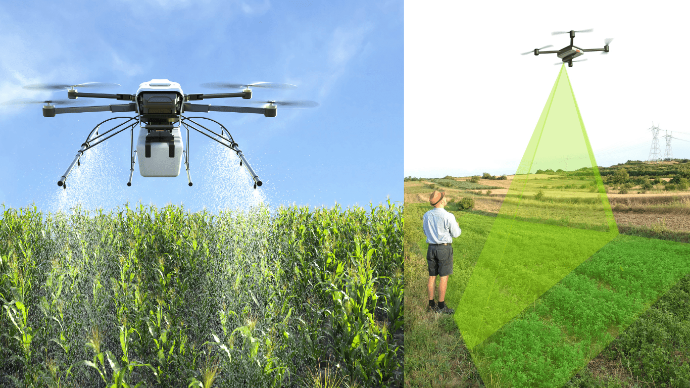
We strive to bridge the gap between technology and real-world applications, empowering businesses across infrastructure, agriculture, real estate, environmental conservation, and defense. By leveraging AI-powered analytics, LiDAR mapping, and high-resolution imaging, we aim to revolutionize traditional workflows, minimize risks, and smart aerial insights.
Meet Our CEO
.
Parikshit Rathore, the visionary leader behind Drishti Aerial Drone, is revolutionizing the drone industry with cutting-edge technology and innovation. With a deep passion for aerial solutions and a strong background in drone applications, he has led Drishti Aerial to become a trusted name in aerial surveying, infrastructure inspection, agriculture, and security solutions.
Under his leadership, the company has pioneered data-driven insights, AI-powered drone solutions, and industry-specific applications, helping businesses achieve efficiency, precision, and sustainability. His commitment to excellence and innovation continues to push boundaries, making Drishti Aerial a leader in advanced drone services.
Parikshit Singh Rathore
{ Civil Engineer , Director }
Contact Us
7688811149
imparikshit.rathore@gmail.com
B-25 Anand Plaza, Near Lake City Mall, Udaipur - 313001